Korva is a scroll of the internet’s best ideas.
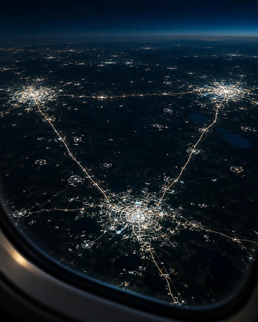
A triangle holds 70% of Texans

The triangle
The highest population densities in Texas sit along the three points of the triangle, and the fastest growing population centers in the fastest growing state sit along those urban areas' outskirts.
The U-Haul Growth Index, which simply looks at the destinations of one-way rented trucks, has put Texas first or second every year since 2016. If Texas were its own country, it would be the world's eighth largest by GDP.
What drives it
Energy and gas exports have always been the bedrock, and a comparatively pro-business environment is a major contributor, but Texas has kept growing for so long because of something more basic: a remarkably steady growth engine.
How are the Texas Triangle cities linked?
Interstate 45 links Dallas and Houston, Interstate 35 links Dallas, Austin, and San Antonio, and Interstate 10 links San Antonio to Houston. Each side of the triangle runs roughly 200 to 275 miles. Railroads, airports, and fiber lines follow the same corridors. The Regional Plan Association, a New York based planning group, classifies the Texas Triangle as one of the country's megaregions.
How does the U-Haul Growth Index work?
U-Haul ranks states by net arrivals, comparing the one-way trucks that come into a state against those that leave. The data comes from the company's own rental records, so it covers only people who rent its trucks. A state can top the ranking even if many movers use other methods. The Census Bureau's official migration estimates draw on records such as tax filings.
How did oil shape the Texas economy?
The Spindletop gusher near Beaumont in 1901 launched the Texas oil boom. The East Texas oil field, discovered in 1930, was so productive that it flooded markets and crashed prices. The Texas Railroad Commission then began limiting how much each well could pump, which stabilized prices. The commission still regulates oil and gas production in Texas, despite its name.