Korva is a scroll of the internet’s best ideas.
Egypt's first capital is still missing
Manetho's First Capital
The ancient historian Manetho's list of capitals begins with Thinis, also written This, at the start of the first dynasty. That moment is generally assumed to be when the country was unified under a single ruler, probably following some military activity. The city is also named later as part of the eighth administrative district, the same one that contains Abydos.
Searching Near Abydos
Archaeologists place it near Abydos, a famous cemetery that was a royal burial place in the first and second dynasties. Tombs that appear to belong to the first-dynasty kings and some of the second were found there at the end of the 19th century, first by Emile Amelineau and then by Flinders Petrie, out toward the desert edge. Egyptians generally kept cemeteries away from where people lived, so the capital is assumed to have stood somewhere nearby. The area is rural today, with one or two settlement sites that could be its remains.
The Missing Temple
Stone tends to survive in Egypt. Even the major temple at Sais, capital of the 26th dynasty, is almost completely gone and still has some whacking great stones left. Thinis lasted into later times, so a major stone temple is a reasonable assumption, yet not even a handful of its blocks have turned up, and that cannot yet be explained.
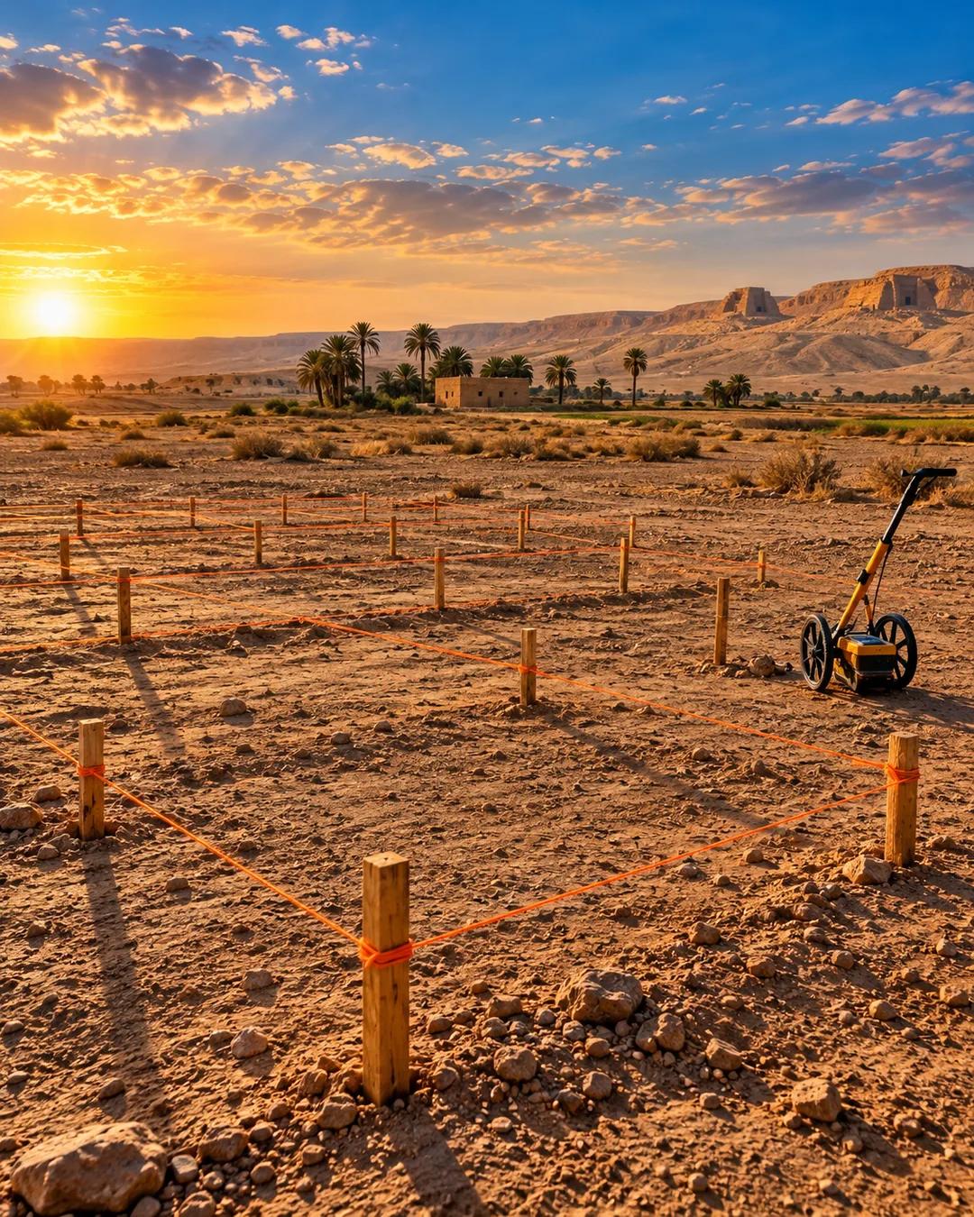
A comprehensive survey beneath the ground in the eighth nome has a strong chance of identifying the very first capital.
Why is unification tied to Thinis?
Egyptian tradition credits a king named Menes with uniting Upper and Lower Egypt under one crown. Many Egyptologists identify him with Narmer, a king shown on the Narmer Palette wearing the crowns of both regions. That unification is usually placed around 3100 BC. The first-dynasty kings who followed were buried at Abydos, in the region around Thinis.
Why were early kings buried at Abydos?
The first-dynasty royal tombs lie in a part of the Abydos cemetery now called Umm el-Qa'ab, which means Mother of Pots, for the broken pottery that covers the ground. Later Egyptians came to see Abydos as the burial place of Osiris, the god of the dead, and took one early royal tomb to be his. Pilgrims left offerings there for centuries. Abydos became one of the most sacred sites in Egypt.
How does a survey see beneath farmland?
Archaeologists use magnetometers, which detect tiny variations in the earth's magnetic field. Mud brick, hearths, ditches, and pits differ magnetically from the surrounding soil, so buried walls and streets show up on a map. Ground-penetrating radar sends radio pulses into the ground and records the echoes from buried structures. Both methods can map the layout of a town without removing any soil.
More from The Ancients