Korva is a scroll of the internet’s best ideas.
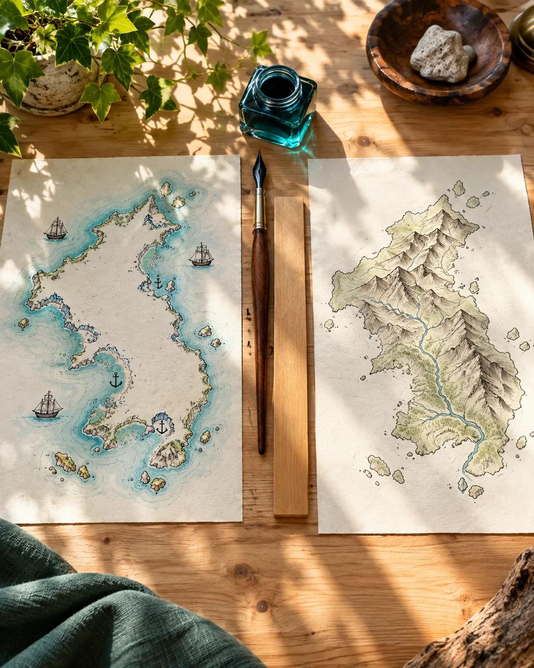
Every map reflects its maker

Two questions bring that context out: what was the cartographer trying to achieve, and how does that influence what the map depicts? A model is not understood until its limitations are understood and respected. A map whose reader does not know what it does and does not tell them can be useless or even dangerous.
Most people get their maps from other people. Experts, pundits, and teachers hand them over, and the reader cannot rebuild each one from the ground up. The best a reader can do is choose mapmakers wisely, favoring those who are rigorous, transparent, and open to revision.
Why does Greenland look as big as Africa?
The Flemish cartographer Gerardus Mercator published his famous projection in 1569 for sailors. It keeps compass bearings as straight lines, which makes plotting a course easy. To do that, it stretches areas more and more toward the poles. Africa's land area is about fourteen times that of Greenland.
Why did medieval maps put Jerusalem at the center?
Many medieval European world maps, called mappae mundi, were built around Christian belief rather than travel. The Hereford Mappa Mundi, drawn around 1300, puts Jerusalem at the center and east at the top. It shows biblical scenes and legendary creatures alongside real towns and rivers. The English verb orient comes from the word for east, a trace of the era when maps placed east at the top.
More from Shane