Korva is a scroll of the internet’s best ideas.
Islands earn 200 miles, rocks 12
Three kinds of features
For deciding a country's maritime territory, the UN recognizes three kinds of naturally occurring island-like features: islands, rocks, and low-tide elevations. Artificial islands and anything else constructed don't count at all. The 200 nautical miles is the exclusive economic zone, where only the owning country can extract resources or build artificial islands, although other countries can still sail through it.
What each one earns
Low-tide elevations are bits of land visible only at low tide, and they don't factor into a country's zones. One inside a country's existing zone belongs to that country, but one out in international waters can't be claimed to expand its maritime footprint. Rocks and islands both stay visible above the water at high tide, and both expand a country's footprint, though not equally. A rock gives 12 nautical miles of territorial sea, and an island gives that plus the full 200 nautical miles of economic zone.
Island versus rock
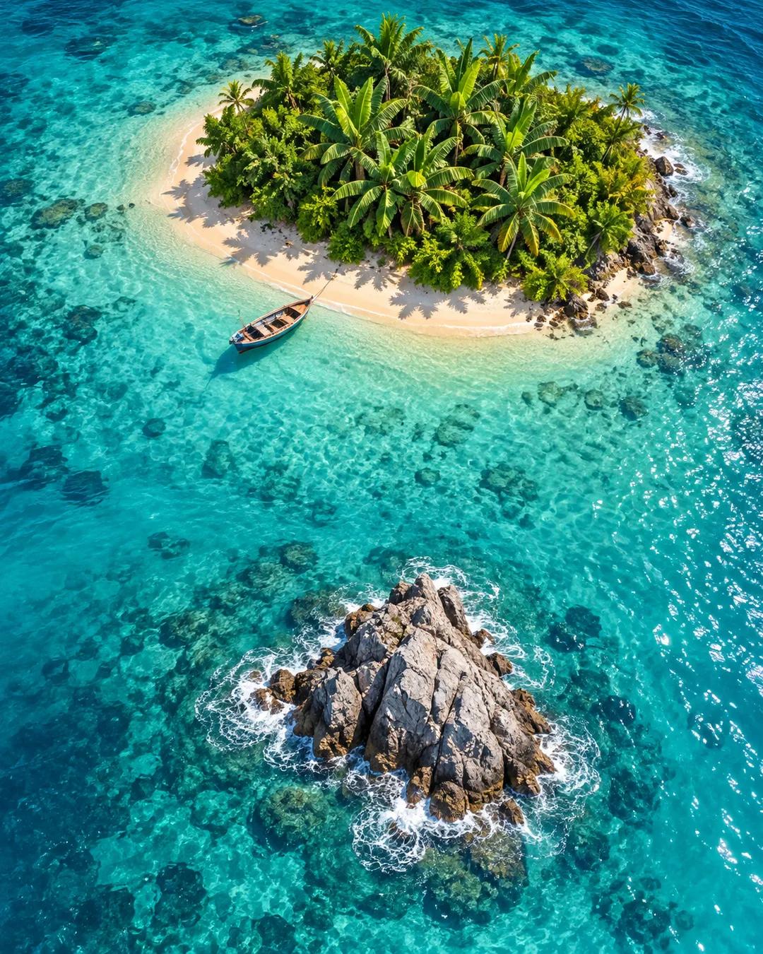
What separates an island from a rock is two UN traits: an island can support the permanent life of a community, and it provides economic materials for that community independently of the mainland. A rock does neither. Picture a feature with banana trees and fish to catch off its sides, where a few people could live sustainably: that is an island. A barren bit of sand and stone is a rock, and one that disappears at high tide is a low-tide elevation.
Why does the law treat rocks differently from islands?
The distinction comes from Article 121 of the UN Convention on the Law of the Sea, negotiated in the 1970s and early 1980s. Negotiators worried that a tiny outcrop in mid-ocean could otherwise hand its owner an economic zone of more than 125,000 square nautical miles. Limiting that reward to features that can sustain human life tied the largest claims to places with a real economic footprint.
Why can't a low-tide elevation expand a country's waters?
Sovereignty over a feature that is sometimes underwater is legally weaker than over land that stays dry. In a 2001 case between Qatar and Bahrain, the International Court of Justice noted that international law had not settled whether low-tide elevations can be claimed as territory. The convention lets a low-tide elevation inside a country's territorial sea serve as a baseline point, but one far out in international waters generates no zones of its own.
How has the island-or-rock question played out in disputes?
In 2016 an arbitral tribunal under the Law of the Sea convention ruled in a case brought by the Philippines against China. It found that none of the Spratly Islands features it examined qualified as a full island with its own 200-mile zone. The tribunal read the island definition strictly, requiring that a feature could sustain a stable human community on its own resources. Rockall in the North Atlantic is another example: since 1997 the United Kingdom has stated that it generates no economic zone.