A livable island claims 200 miles of ocean, a bare rock claims 12, and a low-tide sandbar claims none
To earn the full zone, land must stay dry at high tide and pass two tests for supporting a community on its own.
 Half as Interesting · The Missing Island Mexico Desperately Wants to Be Real
Under United Nations rules for the sea, how much ocean a patch of land can claim depends on which kind of feature it is. An island brings 200 nautical miles of resources, a rock brings 12 nautical miles, and a low-tide elevation brings nothing. Those are the rules that would decide what Bermeja is worth, if it proved to be real.
It starts with what is called an exclusive economic zone, or EEZ. The UN defines it as the water within 200 nautical miles of a country's shoreline. Foreign ships can still sail through it, but only the coastal country can take resources from it or build artificial structures there.
What counts toward that 200 miles depends on the kind of natural land involved. The UN recognizes three kinds of natural features, and human-built structures do not count at all.
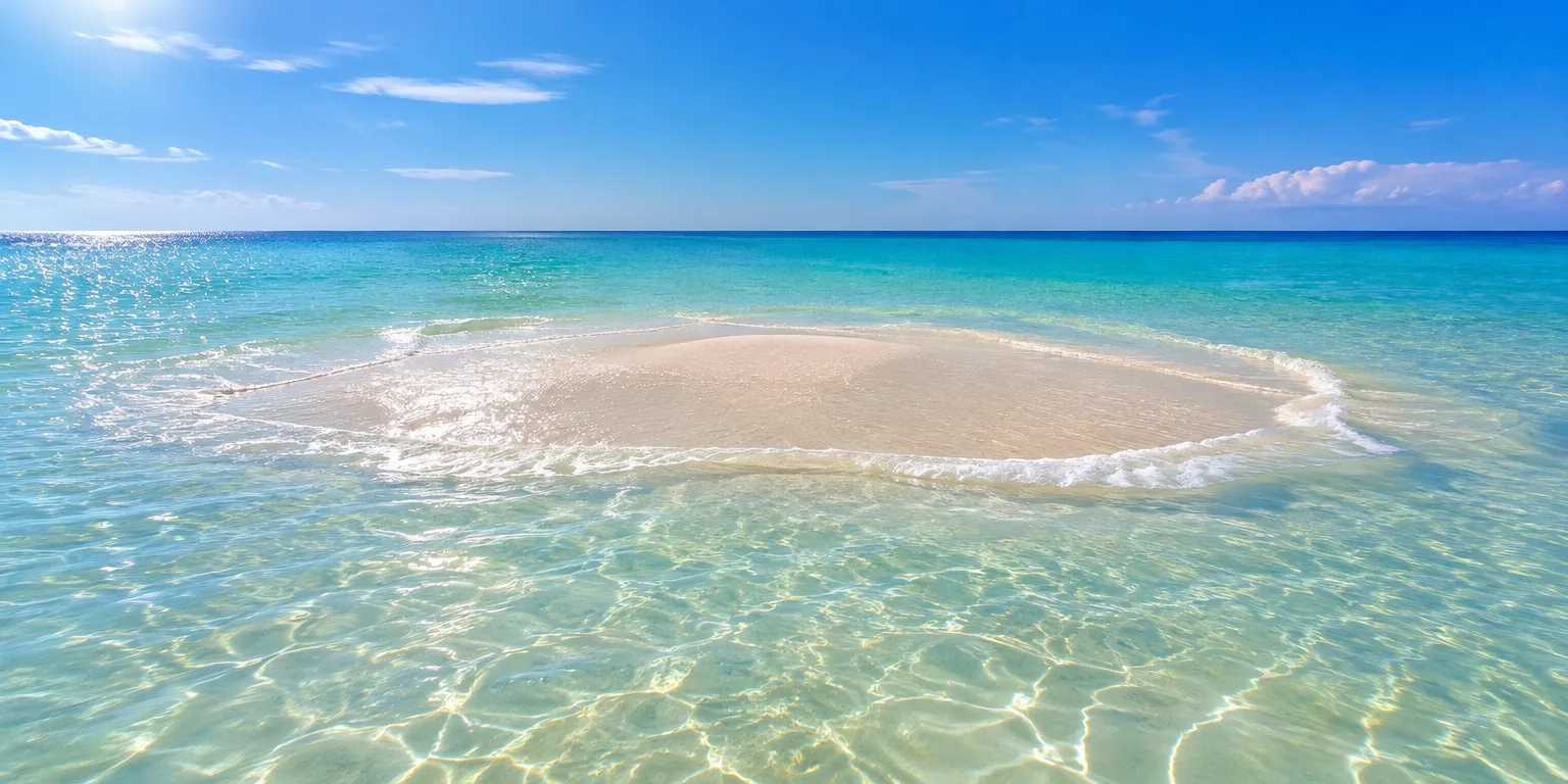
The lowest tier is the low-tide elevation, any bit of land that is visible only at low tide. If one sits inside a country's existing EEZ, it belongs to that country, but a country cannot claim one out in international waters and use it to push its boundaries outward.
Rocks and islands both stay above water even at high tide, and both expand a country's footprint, but not equally. A rock brings a 12-nautical-mile band of nearshore water called the territorial sea. An island brings that territorial sea plus the full 200 nautical miles of EEZ.
The difference comes down to two tests set by the UN. To count as an island, the land must be able to "support permanent life of a community" and must provide "economic materials independently from the mainland" for that community. A rock does neither.
Imagine Bermeja had banana trees, fish to catch nearby, and enough ground for a few people to live sustainably. As a hypothetical, that would be an island, and the EEZ would be granted. A feature that stays dry at high tide but cannot meet either test is only a rock, and ground that disappears at high tide is a low-tide elevation that earns no extra ocean at all.
Questions people ask
How long is a nautical mile?
A nautical mile is 1.15 regular miles, or 1.85 kilometers. It was based on the curve of the Earth, so one nautical mile equals one minute of latitude, which makes it handy for charts and navigation.
What is the difference between the 12-mile zone and the 200-mile zone?
The 12-mile territorial sea is treated almost like national territory. The coastal country controls the water, the seafloor, and the air above it, though foreign ships generally retain a right of innocent passage. The 200-mile EEZ gives exclusive rights to resources like fish and oil, but not full sovereignty over the water itself.
Who decides whether something is an island or a rock?
In practice, disputes are settled through negotiation, international tribunals, and bodies such as the International Tribunal for the Law of the Sea. Countries present evidence about habitability, history, and geography, and judges apply the two tests of permanent community life and independent economic resources.