A Perfect Map Would Be Useless
Every map is a simplified snapshot, and one of the real risks is what it leaves out.
 Farnam Street · The Map Is Not the Territory
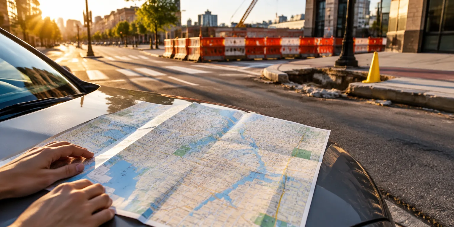
Imagine a street map as big and detailed as the city it describes, with every crack, crowd, and construction cone marked. You could never fold it, read it, or use it to decide where to go.
That is why every useful map leaves most of reality out. A map works because it is a reduction, a simplified version of something far messier and more complex. If it copied every detail of the place, it would stop being a simplification, and so it would stop being useful.
A map is also frozen in time. It is a snapshot from one moment, and the place it describes keeps changing after the snapshot is taken. A road closes or a neighborhood shifts, and the once accurate guide quietly goes out of date.
That gap creates one of the biggest dangers, which is what the map does not show. While you are following the directions, you can walk straight into a risk that was never drawn. The curb is missing, the bridge is out, or the ground has changed, and the map gives no warning.
So you do not really understand a map until you understand its limits. Ask what was left out, when it was made, and where it stops being a good guide. Look up from the paper and check the ground.
Questions people ask
Why don't we just make maps more detailed?
Because detail has a cost. Each extra street, label, or contour makes the map harder to read and slower to use, until it becomes as overwhelming as the place itself.
How can I tell when a map is out of date?
Check the date, learn what it was designed to show, and look for what it ignores. Then compare it with fresh observations from the ground, whether that means a walk, a phone call, or new data. If the territory has changed, update the map.