Argentine Passports Show the Falklands as Part of Argentina
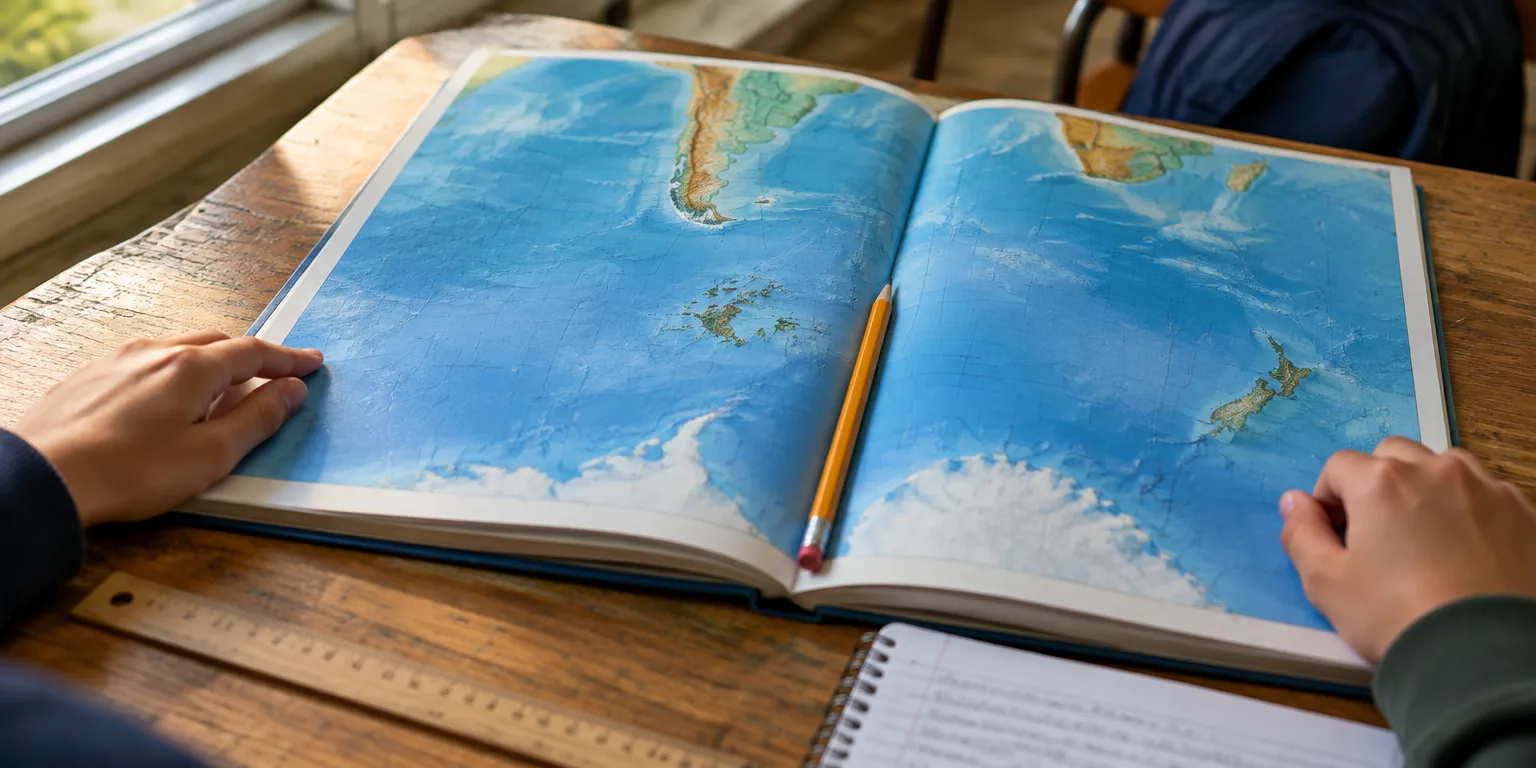
Textbooks must use the same official map, and one version turns the world south-up to put the islands at the center.
 Wendover Productions · Why Britain Cares So Much About the Falklands
Turn over an Argentine passport and the back carries a national map that includes the Falkland Islands, which Argentines call the Malvinas.
Under National Law 26,651, textbooks, government publications, and practically all state bodies have to use an official map that shows the islands to scale. One version approved by the Argentine National Geographic Institute is even printed south-up, so the islands sit at the center.
The passport design is separate from that textbook rule, as is the outline of the islands alone on the national ID card. In Argentina's view shown on those maps, the islands are not a distant territory but part of Tierra del Fuego province, fully integrated into the nation.
Questions people ask
Why does Argentina claim the islands in the first place?
Argentina calls them the Malvinas and traces its claim to the early 1800s, after it inherited Spanish rights in the South Atlantic. Britain has controlled the islands continuously since 1833, and the current residents overwhelmingly identify as British.
What is Tierra del Fuego province?
Tierra del Fuego is Argentina's southernmost province, made up of the eastern part of the large island at the tip of South America plus Argentine claims in Antarctica and the South Atlantic. On Argentine maps, the Falklands are listed as part of that province, not as a separate or overseas territory.
Do other countries still accept an Argentine passport with that map in it?
Yes. Passport maps and national symbols do not affect a passport's validity under international travel rules. British border officials accept Argentine passports as Argentine documents, regardless of the map printed inside.