At 25, He Found a Lost Maya City by Thinking Like the Maya
Ed Barnhart ignored his professor's straight-line survey and followed old logging roads to a city of more than 400 buildings.
 Shawn Ryan Show · #335 Ed Barnhart - The Amazon Rainforest is Hiding a Lost Civilization?
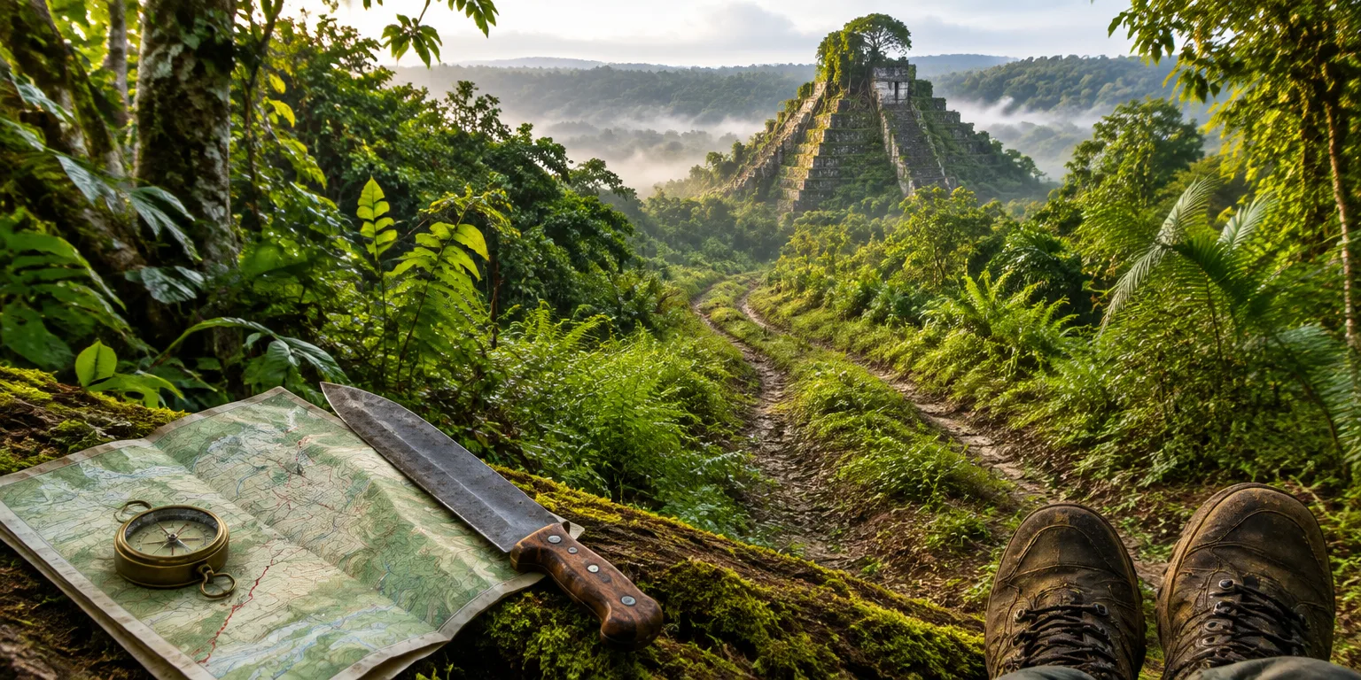
Ed Barnhart, a Maya archaeologist, was 25 and hacking through forest in Belize with a compass, a machete, and four to eight students. His mantra, season after season, was simple: "We're going west."
A decade earlier, Barnhart had been 13 or 14 at the Dollar Theater in Irving, Texas, watching Indiana Jones. He had not realized there was a South America, then became obsessed with the Inca. Barnhart told his high school job counselor, "I want to find a lost city," and she told him that was not a practical job.
The practical job turned out to look a lot like the impractical one. In 1995, after two seasons of cutting trail, Barnhart walked into a Terminal Classic Maya city that had stood until about 900 or 1000 A.D. He got to name it Mashna, which means Monkey House. He eventually mapped about 400 buildings, and left whole neighborhoods unmapped.
He had started with paper topography maps ordered from Belize that needed eight weeks to arrive at his home in Texas. GPS was new and did not work under the trees. So Barnhart tried to think like a farmer who reveres mountains.
The Maya call pyramids stone mountains, and arrange three temples together to honor the three hearthstones of creation. Barnhart picked the tallest peak he could find, with two smaller peaks beside it and three rivers running nearby. "If I was a Maya, that's where I'd go," he figured.
His archaeology professor had wanted straight survey lines march west through hills, up and down and up and down. Barnhart disobeyed. He had noticed old, overgrown British logging roads, about 100 years old, shown as dashed lines on his maps. They were the easiest way through the hills, he reasoned, the same route the Maya would have taken. Starting at mile marker 11, he pieced the roads and valleys together.
On the way in, he found five small villages of 30 or 40 stone buildings each. Then the scale changed. A building six meters tall and square was too large for a village. Then came a pyramid 18 meters tall and 100 meters wide, with a plaza, a palace, a fallen stone monument, and a reservoir.
The giveaway was a ball court, with its sloping walls, side benches, and open lane down the middle. Even in ruins, the shape is obvious, and only large cities had one.
Barnhart learned to read what was hill and what was building by looking for irregular ground, edges of stone walls, and terraces. Trees had grown up through the masonry over 1,000 years and toppled, scattering stone. On the first large building, there was a hole in the roof he could drop through to find walls inside.
The villages around Mashna, about 20 to 30 houses each, sat roughly a kilometer apart, with perhaps 150 people apiece, by a rough guess of five people per building. From the road to the city ran five and a half kilometers. The boy told to get a real career had found the real city.
Questions people ask
Who were the Maya?
The Maya were the Native peoples of southern Mexico, Belize, Guatemala, and Honduras, known for stone cities, hieroglyphic writing, and astronomy. They began living in a distinctly Maya way around 2000 B.C., built large Classic cities from about 250 to 800 A.D., and millions of Maya people still live today.
What was the Maya ball game?
The ball game was played with a heavy rubber ball on a court with sloping walls and an open alley. It was part sport and part ritual, tied to Maya stories about gods and the underworld, and losing could mean sacrifice. Courts appear in major plazas, which is why archaeologists treat one as a sign of a big city.
How would someone find that city today?
LiDAR is an airborne laser that maps the ground even through dense forest, recording millions of points per second. Modern archaeologists use it to spot pyramids, causeways, and house mounds without cutting trail. In the 1990s, Barnhart had only paper maps, a compass, and a GPS that worked only in clearings.