Three Men Tasted Salt Water and Found Evidence Ellesmere Is an Island
After thin ice stopped their bid for farthest north, they averaged 40 miles a day by foot and sled.
 American History Tellers · Greely Arctic Expedition | No Relief | 2
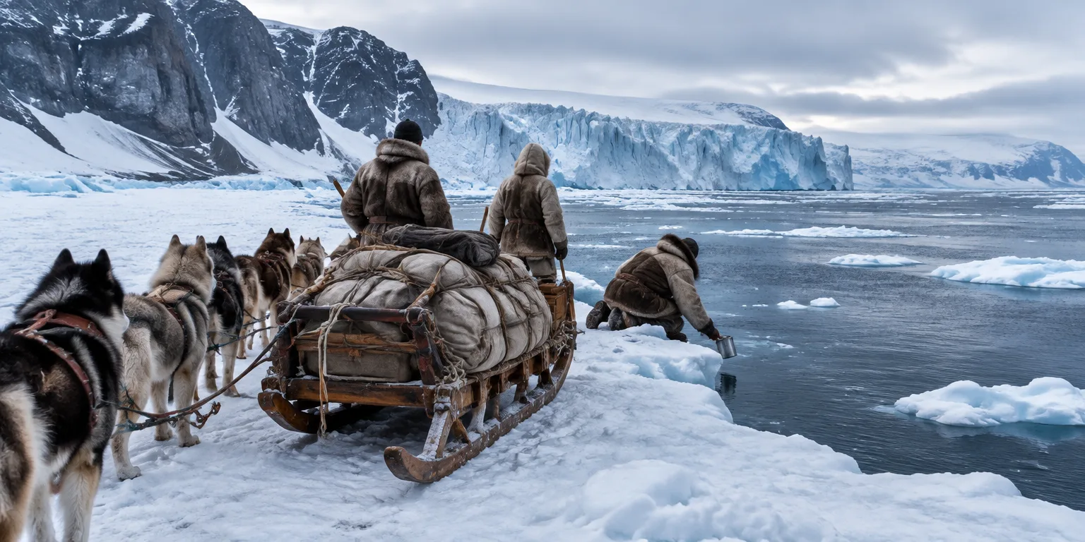
In mid-May 1883, Sgt. David Brainerd knelt at the edge of a vast body of water and tasted it.
The water was salty. That taste told Brainerd and his two companions, Lt. James Lockwood and Greenlandic Inuit sled driver Thorlup Christensen, that they had reached the ocean.
With that taste, the three men found solid evidence for a basic question no one had proved: that Ellesmere, despite its name, was indeed an island. They had also pushed farther west across it than anyone before them.
They had not set out to go west at all. In late March 1883, the same three men had left their base at Fort Conger to beat their own record for farthest north, set the year before.
At first, they were fast. They reached the Blackhorn Cliffs, about 100 miles north of Fort Conger, in just six days. The trip had taken 22 days the year before.
Beyond the cliffs, the sea ice turned treacherously thin. At one point their team of sled dogs fell through the ice and barely escaped drowning.
Lockwood and Brainerd scaled a huge glacier west of the cliffs to survey the route. They saw open water in every direction, impassable by sled, and turned back after only two weeks.
Adolphus Greeley, the expedition's leader, met their early return with surprise and dismay. But Lockwood proposed a different goal: head west across unknown country to learn how far the landmass stretched and whether it reached the Arctic Ocean.
In late April, the three men set out again with Greeley's approval. For several weeks they averaged about 40 miles a day, crossing mountains and glaciers, and traveling through valleys and past lakes.
When they reached the great water they had spotted from a nearby mountain, each man had a job. Lockwood made sketches, Christensen tended the dogs, and Brainerd studied how the water moved before tasting for salt.
Later calculations would show the scale of what they had done on foot and by sled. At that far northern latitude, they had covered one-eighth of the way around the Earth at that latitude.
Questions people ask
Where is Ellesmere Island?
Ellesmere Island is a large, mostly ice-covered island in the far north of Canada, west of Greenland across Smith Sound. In 1883 it was largely unmapped, which is why its status as an island was still an assumption.
Why was thin ice enough to stop the northern trip?
Sea ice can look solid but be too thin to support sleds and dogs, especially near open water in spring. Falling through can drown dogs and men within minutes in freezing water, and it leaves no route forward for heavy sleds.
What does one-eighth of the Earth's circumference mean that far north?
The distance around the Earth gets much shorter near the poles. One-eighth of that circle at a high Arctic latitude is still a remarkable distance to cover by walking and dogsled, at about 40 miles per day for weeks.