Korva is a scroll of the internet’s best ideas.
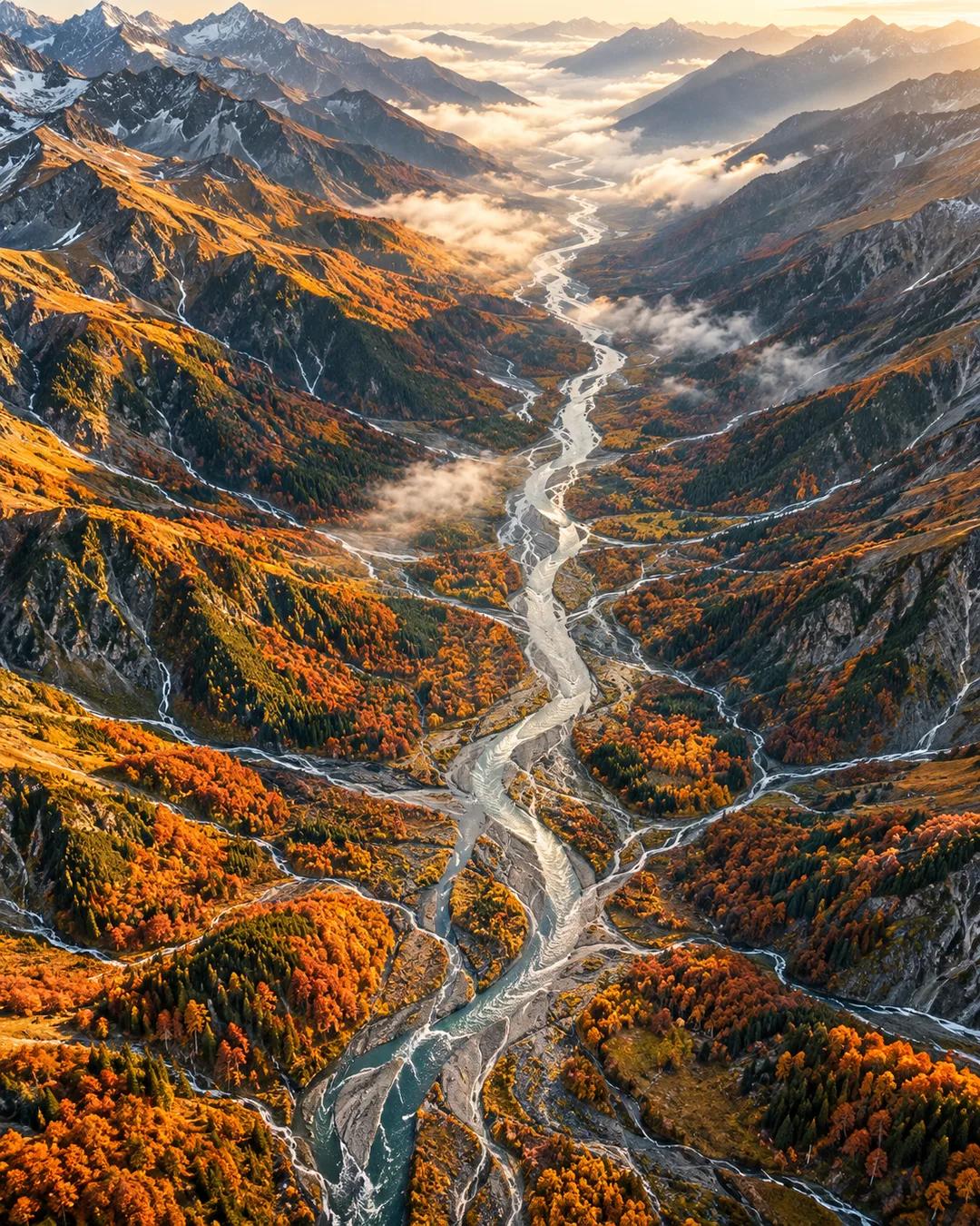
Big river basins run long and thin
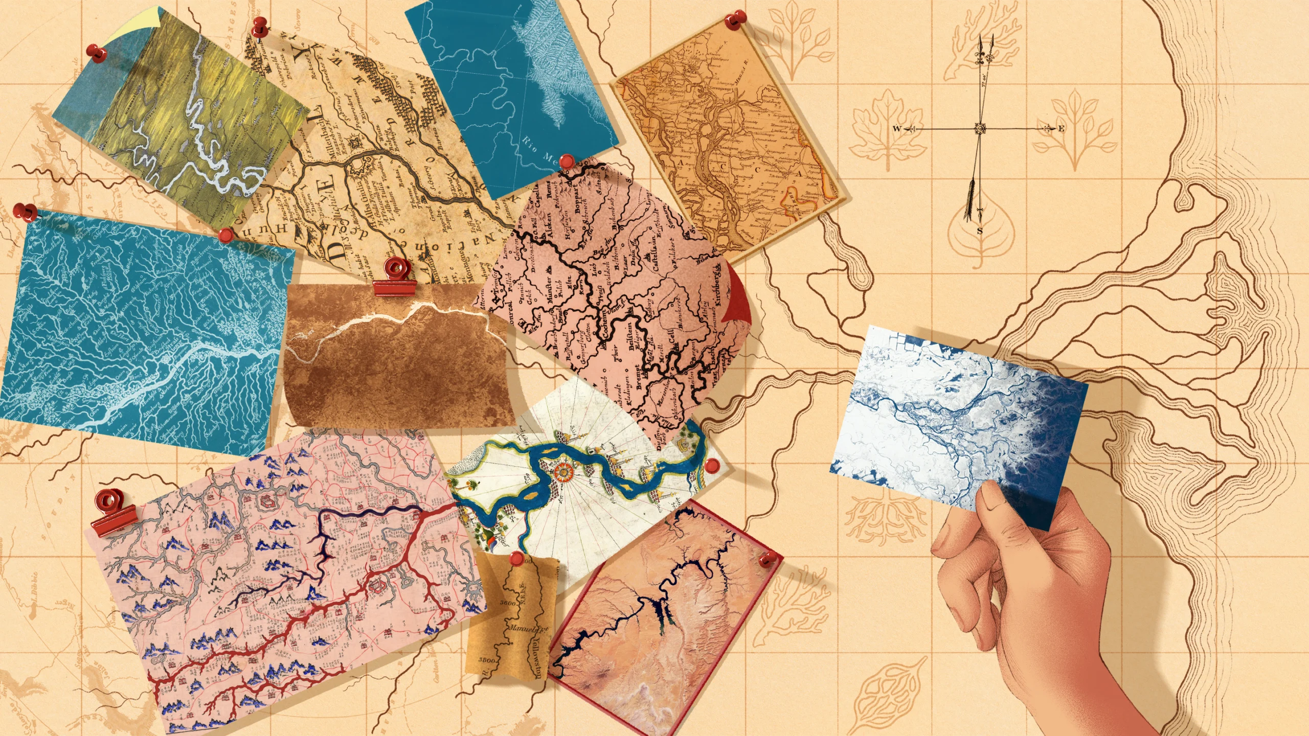
Hack's law
In 1957, U.S. Geological Survey scientist John Hack measured the length of streams in Virginia and Maryland, along with the area of land that slopes toward each one, called its basin or drainage area. The relationship he found is now known as Hack's law, and it turned up regardless of the geology of the area. As satellite imagery has accumulated, it has held worldwide, with a little variance around the 0.6 value.
What geometry predicts
Simple geometry points to an exponent of 0.5. Picture a square patch of land that drains into a stream the length of one of its sides, such as a vertical line down the middle. That length is the square root of the area, or A to the power of 0.5. Under that rule, big river basins would have the same proportions as the small basins that feed the tributaries within them.
Long, thin basins
Real streams lengthen faster than that as their drainage areas grow. Small basins are short and squat, and large basins are long and thin. That elongation gives river networks a directionality that stretches toward the sea, and it forces neighboring networks to lie closer together than a 0.5 exponent would allow.
Why do rivers meander instead of running straight?
Water moving around a bend flows faster along the outer bank than the inner one. The outer bank erodes, while the slower water on the inner bank drops its sediment. That makes each bend sharper over time, and the river lengthens as its loops grow. In 1926, Albert Einstein published an explanation of this process that relied on a spiral flow of water within the channel's cross section.
How are drainage basins mapped from space?
Elevation maps built from radar and laser measurements show which way each patch of ground slopes. Software then traces the downhill path from every cell and groups together all the cells that end up at the same stream. NASA's Shuttle Radar Topography Mission, flown in February 2000, supplied elevation data for most of Earth's land between about 60 degrees north and 56 degrees south. Those grids became a standard starting point for measuring basins worldwide.
More from Natalie Wolchover