Korva is a scroll of the internet’s best ideas.
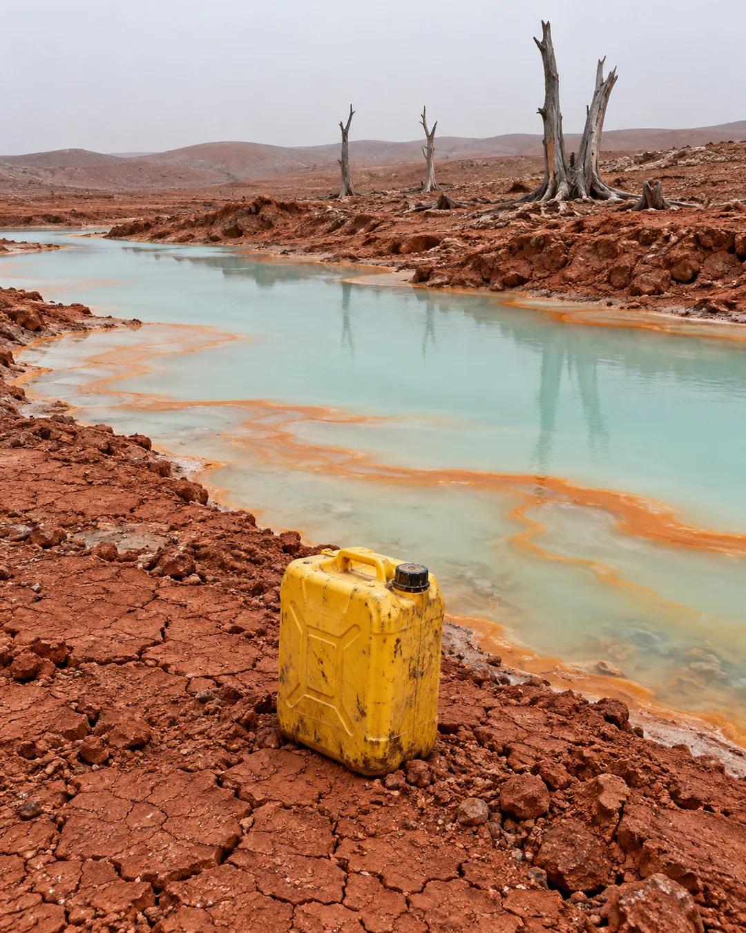
Congo water 950 times over limit

Poisoned water
The tests came from a case study in Kolwezi for the Blood Batteries report. They covered lead, cobalt, copper, uranium, and chromium. Water below a pH of 6.5 is not good for health. The best reading anywhere around Kolwezi was 6.7, in the Lualaba River, a dumping ground for some Chinese mining companies, while rivers, streams, and well water near the villages came back in the fours and threes, which counts as hyper acidic.
Acid and lost forest
The contamination comes from processing. The ore holds cobalt, copper, nickel, silver, and a bit of uranium, and separating them takes heavy industrial acids that leach into groundwater, rivers, and lakes. The land has paid too: time-lapse satellite imagery of the copper-cobalt belt in the southeast corner of the Congo shows between 40 and 60 percent of the forest area gone from the start of the battery metal boom to 2022, replaced by mining territory.
With water and earth like that, nothing can be grown in the area, and millions of people live there. They are sick whether or not they have anything to do with mining.
How do refining acids end up in water?
Copper-cobalt oxide ore is typically processed by leaching it with sulfuric acid, which dissolves the metals out of the rock. Leftover tailings and wastewater that escape containment carry acid and dissolved metals downhill into streams. Low pH keeps metals dissolved instead of letting them settle, so acidic runoff can carry copper, cobalt, and uranium a long way. Neutralizing the acid with lime makes the metals precipitate out of the water.
Why does uranium turn up in Congo water?
Uranium minerals occur naturally alongside the copper and cobalt deposits of the Katanga Copperbelt. The Shinkolobwe mine, which supplied uranium for the first atomic bombs, lies in the same belt. Mining and ore processing expose those minerals to air and water, which lets uranium dissolve and spread. Uranium in drinking water is a heavy metal toxin to the kidneys as well as a radioactive element.
How does satellite imagery measure forest loss?
Researchers compare images of the same ground taken years apart and classify each pixel as tree cover or not. Global Forest Watch, built on University of Maryland analysis of Landsat imagery, tracks tree cover loss at 30-meter resolution. Mining areas show up as bare ground that spreads outward over time. Time-lapse sequences of such images are how land change across a whole mining belt is measured.
More from The Joe Rogan Experience