Korva is a scroll of the internet’s best ideas.
Mexico's island nobody can find
An island on the map
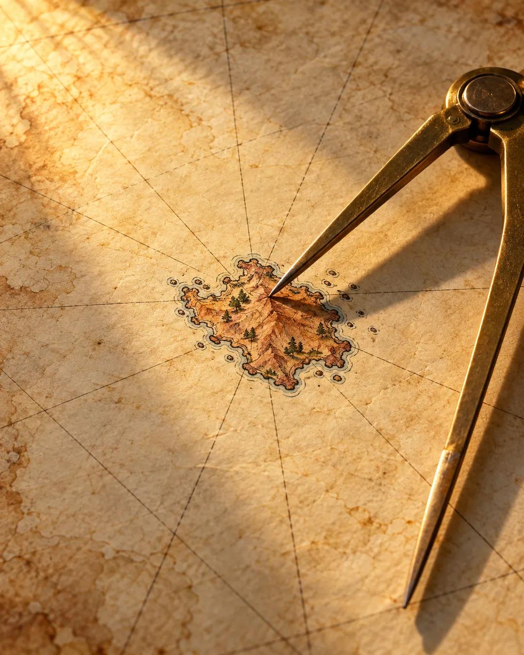
Bermeja Island first appears in the Islario General, a catalog of the world's known islands published in 1540 by the Spanish cartographer Alonso de Santa Cruz. It is described as reddish-brown, which is what Bermeja means, and about 80 square kilometers in size, a bit smaller than Manhattan. Sailing records mention trees on it, though nobody seems to have landed there and mapped it. Many phantom islands look like errors copied from one map to the next, but Bermeja turns up in official inventories and studies until the early 20th century. The captain's log of a 1775 Spanish survey recorded no trace of it.
What it would be worth
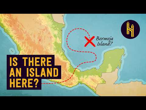
A country's exclusive economic zone is the sea within 200 nautical miles of its shoreline, where only that country can extract resources. Mexico's current boundary in the Gulf treats the Alacranes Islands as its northernmost. An island at Bermeja's listed coordinates would sit farther north and push the zone into a triangle of the Gulf that belongs to nobody by about 55 nautical miles. That would give Mexico exclusive access to allegedly about 22.5 billion barrels of oil, worth over 1.5 trillion dollars at today's prices.
The search comes up empty
In the early 2000s, while the US and Mexico were negotiating who gets to drill where in the Gulf, Mexico's parliament sent an expedition to the coordinates. The National Autonomous University of Mexico added underwater sensing and aerial reconnaissance, and there were satellite and sonar searches too. They found nothing above the water and nothing below it: no sandbar eroded from an old island, and no geologic record of a landslide or seafloor shift that could have swallowed one. After enough failed campaigns, Mexico's institutions stopped paying for the search.
How did islands that never existed reach old maps?
Mapmakers in the 1500s often copied from earlier charts instead of surveying for themselves, so one sailor's mistaken report could be repeated for centuries. Ships also had no reliable way to measure longitude at sea until marine chronometers became practical in the late 1700s, which put positions off by many miles. A cloud bank, a floating mass of pumice, or a patch of discolored water could be logged as land and then handed down from chart to chart.
Can an island vanish without leaving a trace?
Some islands do disappear, especially ones built from loose material. In 1831 a volcanic island rose from the sea between Sicily and Tunisia, was claimed by several countries, and then eroded away within months. Today its remains are an underwater shoal known as Graham Shoal or Ferdinandea. Islands made of volcanic ash or sand wear down quickly because waves strip away material that has no solid rock core to hold it.
Why does the 200-mile zone matter so much?
The 200-mile figure comes from the UN Convention on the Law of the Sea, finalized in 1982 and in force since 1994. It gives a coastal country sovereign rights over the fish, oil, gas, and seabed minerals within that distance of its shore. Before the convention, many countries claimed only a narrow strip of coastal water, and distant fleets could fish and drill just beyond it. Roughly a third of the world's ocean now falls inside some country's zone.
More from Half as Interesting