An 1881 Arctic Mission Left a Baseline for Climate Science
From a lonely fort in 1881, soldiers logged up to 500 readings a day that researchers still compare against today.
 American History Tellers · Greely Arctic Expedition | Drawn to the North | 4
More than 140 years ago, a group of U.S. Army soldiers built a wooden house very far north and started writing down the weather, several times a day, every day. Those notebooks are now helping scientists measure how much the Arctic has changed.
The work was part of a plan by Austrian explorer Karl Weyprecht for an International Polar Year, a network of 14 research stations ringing the far north. The American station, led by Adolphus Greely, was meant to sit farther north than any other in the group.
The men settled at Lady Franklin Bay, on what is now Ellesmere Island in Canada, across from Greenland. The camp sat 250 miles beyond the nearest Greenlandic settlement at Etah, making them the most northerly community of people on Earth, says Buddy Levy, author of a book on the Greely expedition.
They lived in a 60-by-20-foot longhouse built from shipped-in lumber, with extra buildings for storage and for observations. Heat came from coal found in the ground a short distance away, while snowy peaks rising about 3,000 feet surrounded them.
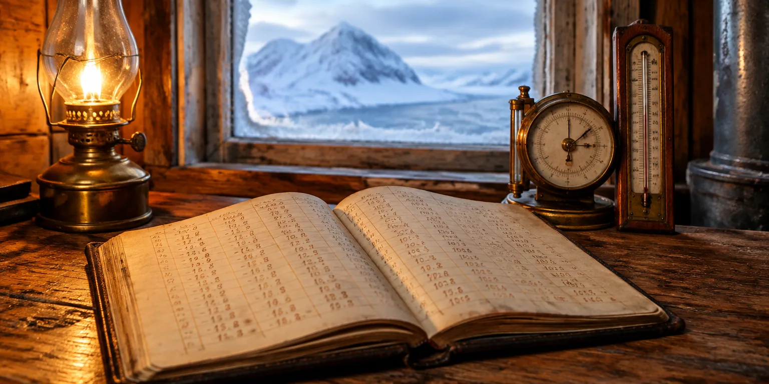
With hundreds of instruments, they recorded wind speeds, ice depth, the northern lights, magnetic fields, and other atmospheric details including dew point. Some days they logged as many as 500 measurements, while also traveling by snowshoe and dog sled to map new land.
Because the records are so careful and detailed, scientists use them as a baseline to compare against present conditions. The old ledgers are kept by the National Oceanic and Atmospheric Administration and research institutions around the world.
Scientists compare the old figures on ice depth, temperatures, currents, and glacial retreat with what they see today. It is a rare long-running record from a remote place.
Questions people ask
What was the International Polar Year?
The International Polar Year was a coordinated push for countries to study the poles at the same time, using the same kinds of observations. The first one ran in 1882 to 1883, with 14 stations in the Arctic. There have been several since, including one that covered both the Arctic and Antarctic.
Why does a baseline from one spot matter so much?
A baseline is an early set of measurements that later change can be judged against. Without it, researchers know the Arctic is warming but have a harder time saying by how much in a particular bay or fjord. A daily log from one fixed spot makes the comparison much cleaner.
How accurate could those 1880s instruments be?
They used thermometers, barometers, magnetic instruments, and tools for measuring wind and ice thickness, and wrote results by hand. They were sturdy but less precise than electronic sensors, and reading them in darkness and extreme cold took constant care. Their strength is consistency, with many readings taken the same way over two years.