Angkor Was Less a Temple City Than a Water Landscape
Laser scans found geometric mounds, mile-long coils of sand, and reservoirs several miles long tied to a lake that fills backward each year.
 The Why Files · The Basement: Cassie Coppersmith | Ancient Technology was More Advanced Than We Think
From the air, Angkor Wat is almost a footnote. Seen by laser, greater Angkor looks less like a cluster of stone temples than a landscape rebuilt to move, store, and release water.
In 2012 and 2014, archaeologist Damian Evans and colleagues scanned about 2,500 square kilometers around Angkor with lidar, a laser method that maps the ground through trees. The images showed stiffly geometric grids of mounds, some inside Angkor Wat's moat and east of it, plus mile-long coiled earthworks south of the moat.
The coils were the puzzle. Researchers found only sand and earth inside them, with no cultural layers, and a later canal cut straight through. In their 2015 report, Evans's team wrote that how the spirals worked was not at all clear.
The larger plumbing is easier to follow because it still runs downhill from mountains to lake. It starts in the Kulen Mountains, with water coming down the Pouk River toward the Angkor plain.
Builders then cut a 16-kilometer diversion, called the Siem Reap channel, to send water east instead of straight south. The channel passed temple hills and mound fields, then filled the Eastern Baray, one of Angkor's giant reservoirs.
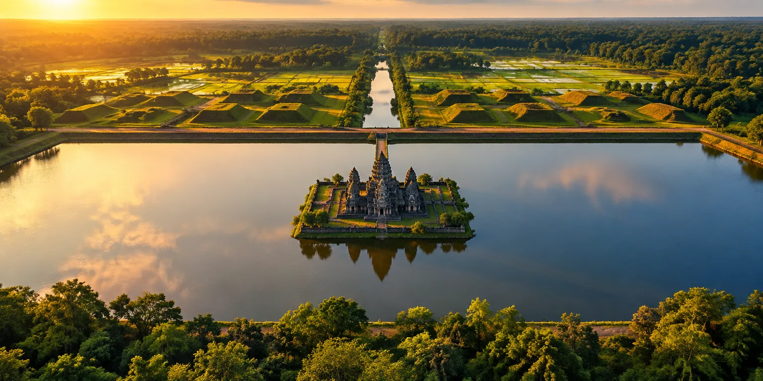
Each major reservoir held an island temple, with pyramids linked nearby. Water left the Eastern Baray, ran down the Roluos River, and filled another reservoir to the south that also had its own island temple.
The scale is hard to miss. The West Baray is visible from space, with an old airport runway just south of it for comparison, and some reservoirs stretch about eight kilometers, or roughly five miles.
Everything drains toward Tonle Sap, south of Siem Reap. For much of the year, water moves from Angkor into the lake and onward toward the Mekong. In flood season, the swollen river forces flow backward up the connecting channel and greatly expands the lake.
That seasonal surge is why farming alone seems an incomplete explanation to researcher Cassie Coppersmith, a former mining analyst who now studies ancient sites and grew up farming. Miles of open water took land that could have grown rice, suggesting Angkor's engineers were taming a volatile flood system as much as watering crops.
Questions people ask
What is lidar and why did it matter at Angkor?
Lidar fires rapid laser pulses from an aircraft and measures their return to build a precise map of the ground, even under dense forest. At Angkor it revealed streets, mounds, channels, and reservoirs that are invisible from the ground or in ordinary photos.
How large were Angkor's reservoirs?
The West Baray is about 7.8 kilometers long and 2.1 kilometers wide, and the East Baray was similarly large at about 7.5 by 1.8 kilometers. Both could hold tens of millions of cubic meters of water, far beyond a village pond or palace moat.
Why does the lake reverse direction?
During the rainy season, the Mekong River rises so high that it forces water up the Tonle Sap River into Tonle Sap Lake. The lake can expand from roughly 2,500 square kilometers in the dry season to more than 10,000 square kilometers at peak flood.