China's Two Longest Rivers Start in Tibet
A 2017 commentary argued that losing Tibetan water would threaten China's ability to feed itself.
 Wendover Productions · China's Geography Problem
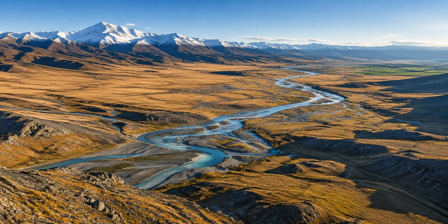
China's two longest rivers, the Yellow and the Yangtze, both draw their water from Tibet and flow east to the lowland farm belt.
That geography means productive farms in the east rely on water that starts far to the west, on the Tibetan Plateau. The rivers gather in the west and carry that water to the fields downstream.
In a 2017 commentary, the writer argued that this dependence makes Tibet a food issue for Beijing, not only a border question. According to that commentary's account of the government's thinking at the time, foreign control of the water would badly damage the country's ability to feed itself.
The same commentary offered an explicitly hypothetical point about separation. It said that if, hypothetically, a significant mountain range separated Tibet from eastern China, there is a good chance Tibet would still be independent. Without such a barrier, the rivers flow straight east to the farms.
Questions people ask
How can one region supply two giant rivers at once?
A broad upland can drain in more than one direction. Different slopes and valleys collect rainfall and runoff into separate channels, so one large plateau can feed the headwaters of several river systems at once.
What does food security mean here?
It means producing enough staple food at home to feed the population without relying on imports. For a country with more than a billion people, a disruption to irrigation water can quickly become a broader economic and political worry.
Does water from Tibet flow to other countries too?
Yes. Other rivers that rise on the Tibetan Plateau flow south and west into India, Pakistan, and Southeast Asia. That shared geography is one reason Tibetan waters matter well beyond China.