Europe's Weather Center Opens Part of Its Sharpest Forecast Data for Free
Part of its sharpest data is now available at no cost, aimed at better local detail and wider worldwide access.
 ecmwf.int · News | ECMWF
ECMWF, Europe's main weather forecasting center, has opened part of its sharpest 9-kilometer forecast output for anyone to use free of charge.
The release, published on 20 October, offers more accurate forecasts for specific local areas and wider access to weather information around the world.
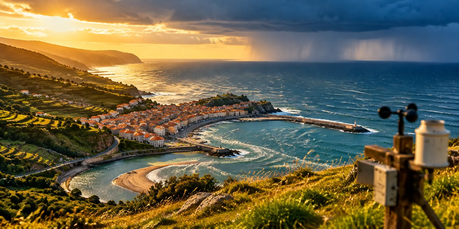
The 9 km figure is about detail. The forecasts divide the atmosphere into pieces about nine kilometers across, so hills, coasts, and cities can show up more clearly than in broader, coarser forecasts.
Free and open means the data can be taken and used without payment or restricted access. Anyone can use it, and the sharper data is meant to give more accurate local forecasts.
For readers, the aim is more accurate local forecasts for their own area.
Questions people ask
What does 9 km resolution actually mean?
Resolution describes the size of the grid boxes a forecast model uses. At 9 kilometers, each box is about nine kilometers wide, so the model can better represent mountains, coastlines, cities, and storms that coarser grids would smooth over.
What does free and open data mean in practice?
It generally means anyone can download and use the data without paying a fee or needing a special commercial license. Users still need computers and skill to process large weather files, but schools, startups, and weather services can now start from the same source.
Why would sharper forecasts help local predictions?
Local weather often depends on terrain, water, and city heat, which only show up when the model sees fine detail. Sharper starting data help forecasters predict temperature, wind, and rain for a valley or coastline rather than an average over a wide area.