Filling Weather Blind Spots Could Improve Forecasts Worldwide
A new study finds that more ground-level readings in places with few could sharpen seven-day forecasts, near and far.
 ecmwf.int · News | ECMWF
Adding more weather readings in places that have almost none could improve forecasts a week ahead, both nearby and around the world.
That is the evidence in a 9 November study from ECMWF, the European forecasting center. It concluded that putting more ground-level instruments in places with very little coverage could lift the quality of forecasts made for a week ahead, in the surrounding area and across the globe.
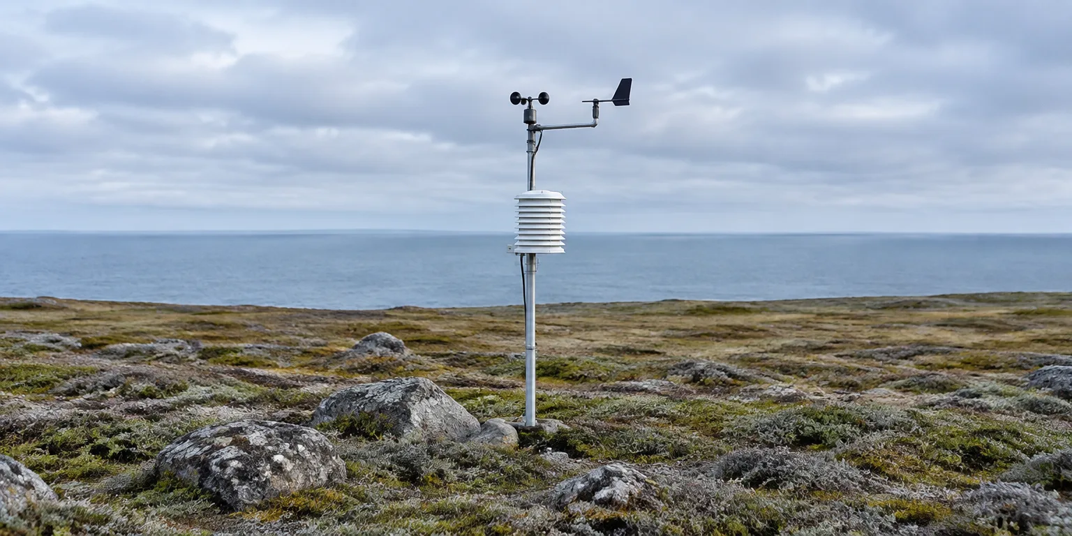
Surface-based and in-situ are plain terms for instruments sitting in the weather itself, at the ground or on the water, measuring what the air is doing right now.
Data-sparse means places with very few of them, so forecasters have only a blurry picture of current conditions there.
Forecasts work forward from that starting picture, day by day. Over a week, small mistakes at the start have time to grow.
Seven days is therefore a demanding test. An improvement there points to a more accurate picture at the beginning.
Errors in the starting picture spread downstream because air and weather systems move.
The practical point is about where to add instruments. Filling the biggest gaps could pay off not only nearby, but for forecast quality worldwide.
Questions people ask
What counts as a surface-based, in-situ observation?
They are tools like weather stations, buoys, and balloons that touch the air, and measure temperature, pressure, humidity, and wind at the surface or just above it. They complement views from above by recording exactly what is happening at one spot.
Where are observations most sparse?
They are areas with few ground stations, often over parts of oceans, deserts, polar regions, and parts of Africa and South America. Coverage is thin because instruments are costly to place and maintain, and some terrain is remote or harsh.
Why would a local reading affect a forecast far away?
Weather systems move with jet streams and ocean patterns, carrying air from one region to another over days. A forecast model that starts wrong in one place feeds that error into winds, clouds, and storms downstream, so fixing the start can help far away a week later.